Today, Barb and I went on a somewhat impromptu hike to the First Burroughs Mountain adjacent to Mount Rainier. We had been in this area before (see Barb and Joe’s unexpected adventure and The mountain has a hat). I think it was my current manager at work who recommended today’s trail. I had been somewhat intrigued by the trail when we took the branch to the Mount Fremont lookout. Even more so the second time when I went with a co-worker from the east coast. Then, when my manager strongly recommended it, I decided it was definitely on my to-do list. When on Saturday Barb said she would like to go to Rainier and asked where I would like to go. I told her of the recommendation and we made it happen.
The official trail description is here. They talk about a clockwise loop. We did the same loop counter clockwise.
We left home at 5:30 AM and arrive at the Sunrise Parking lot about 7:45 AM. The lot was nearly full. We felt really good about getting a decent parking spot. It was foggy and even misty on the drive, and we were a little concerned about the weather blocking good views. The forecast was for a sunny afternoon and by 8:45 it was rapidly clearing.
7:59 AM leaving the Sunrise parking lot:
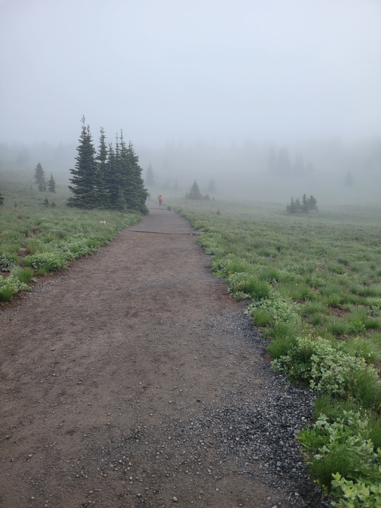
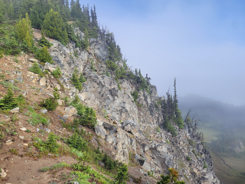
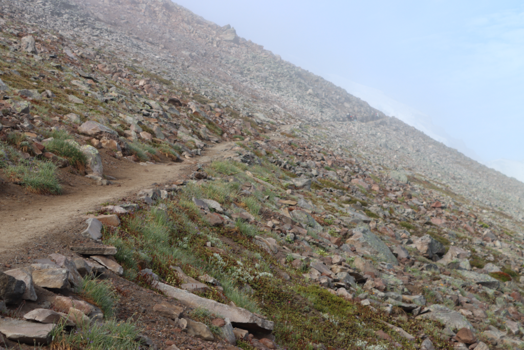
There are steep cliffs and from the trees you know it the winters are long and harsh. The fog was started to clear by 8:11:
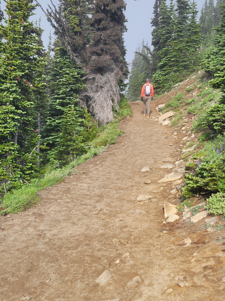
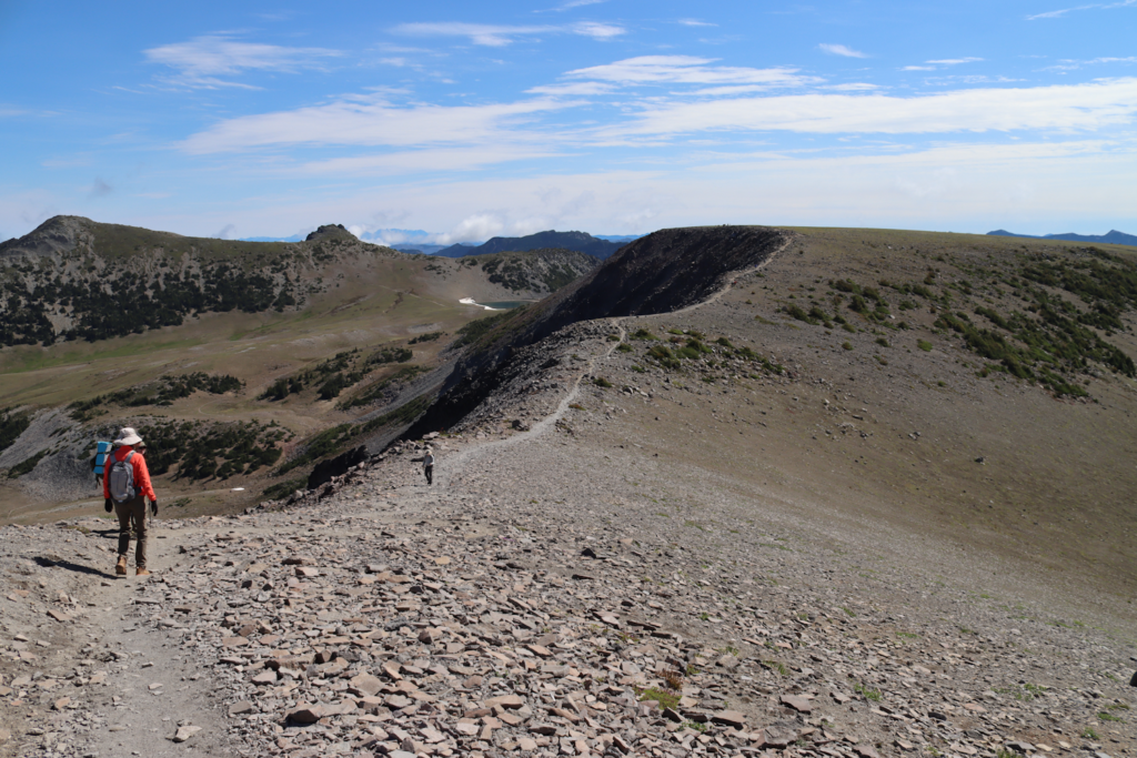
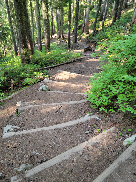
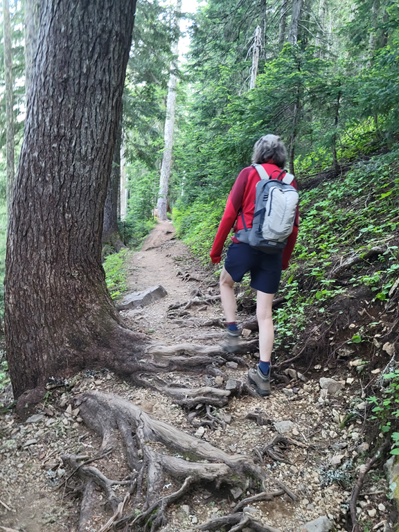
Below is a picture of Barb on the trail ahead of me and was taken a few seconds after the picture above. The trail on this section is really nice. Other areas were narrower and potentially hazardous.
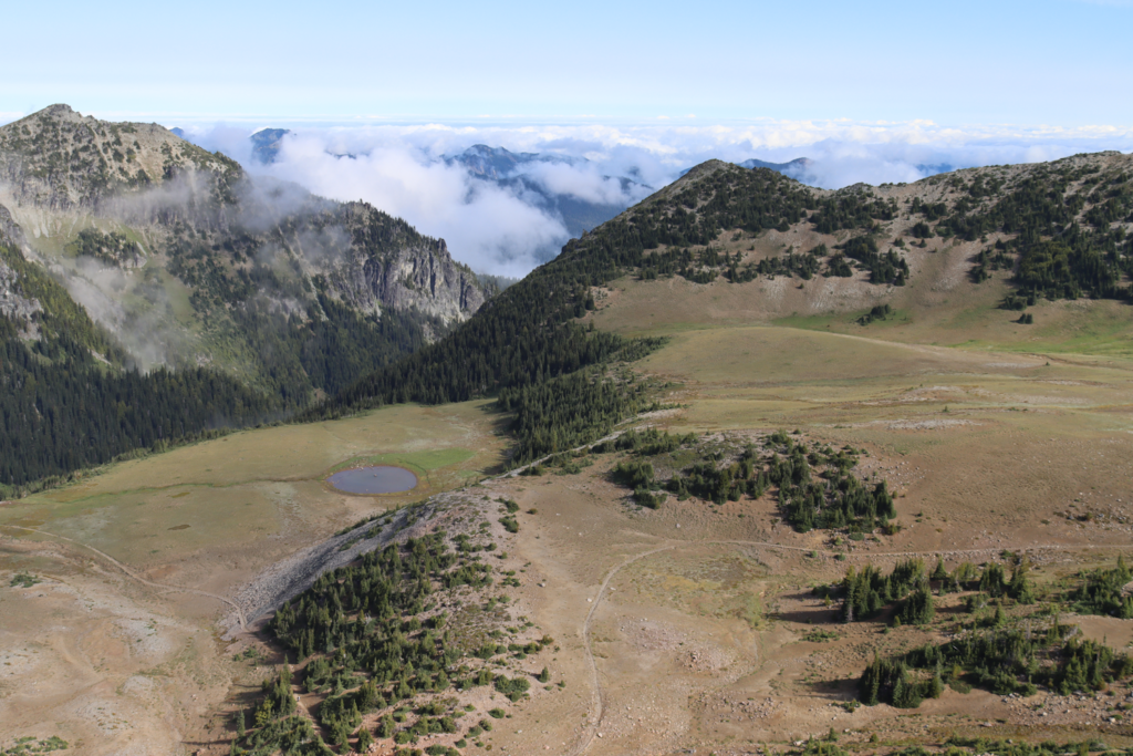
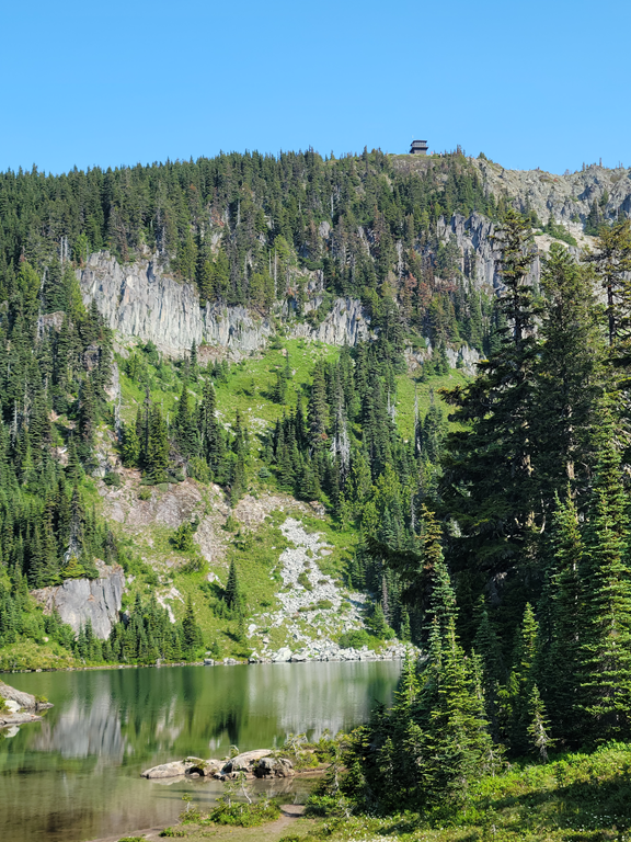
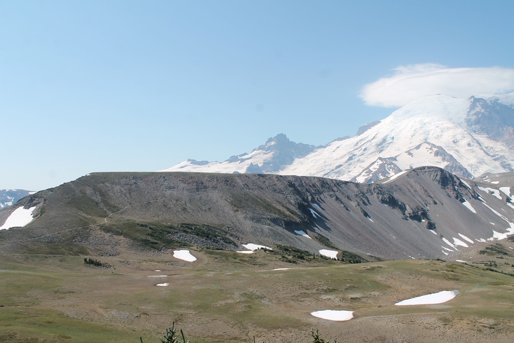
This picture was from 8:45 and is the trail I had only seen from a distance on the way to and from the Fremont Lookout. You can see the trail below going across the hillside from this picture from the Fremont Lookout post.
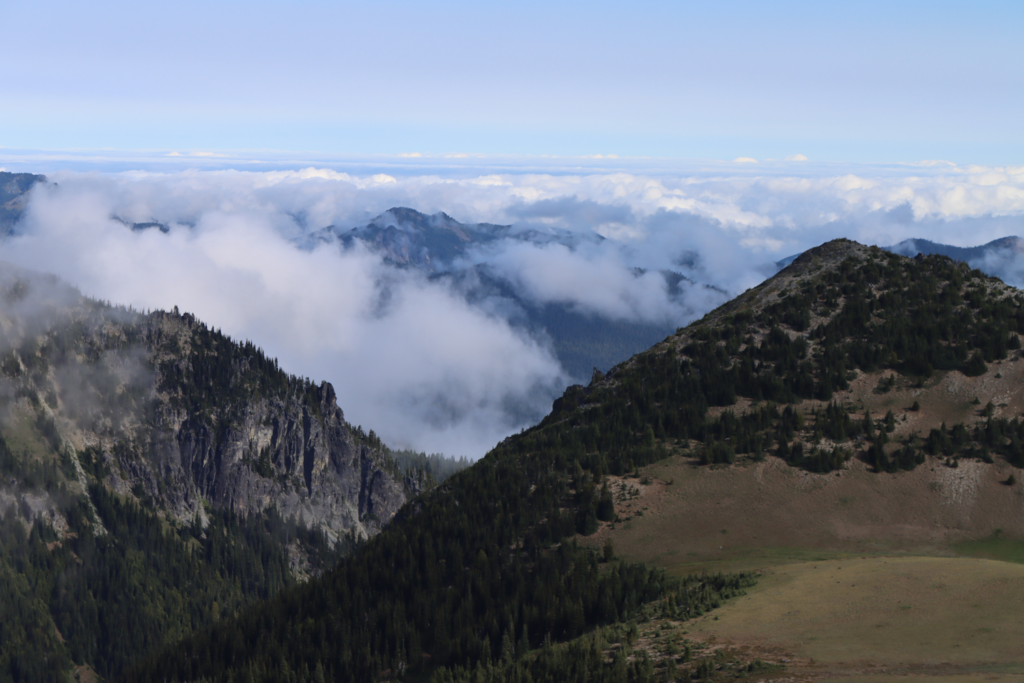
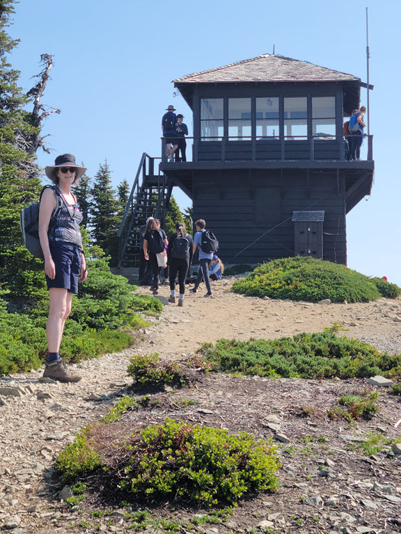
At 8:58 you can see the trail to the lookout and the lookout itself (on top of the first peak from the left) across the valley:

More pictures from the same location at the picture above:
25 mm lens.
50 mm lens.
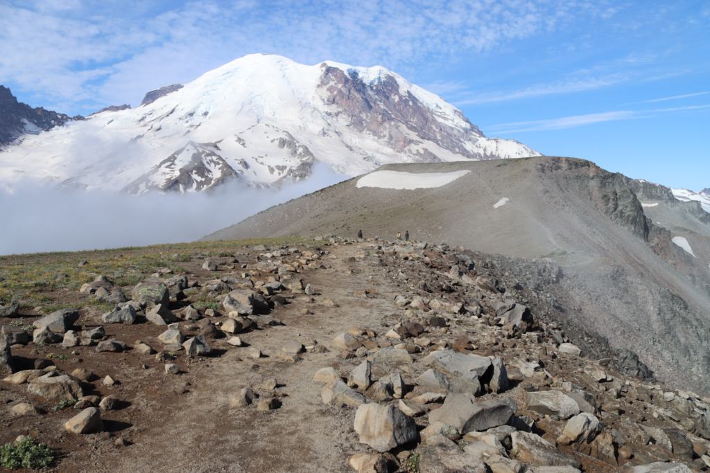
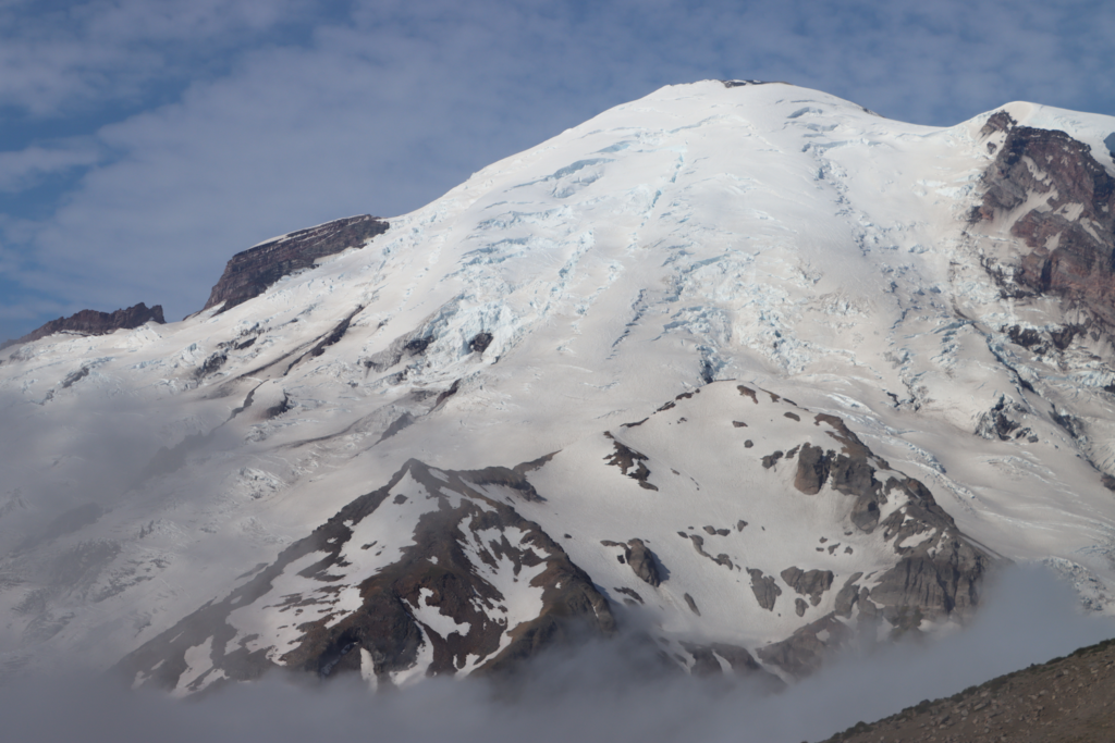
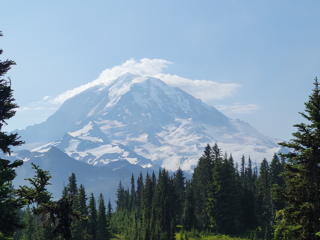
18 mm lens at 9:07. This was our first good view of Mount Rainer itself:
55 mm lens at 9:07:
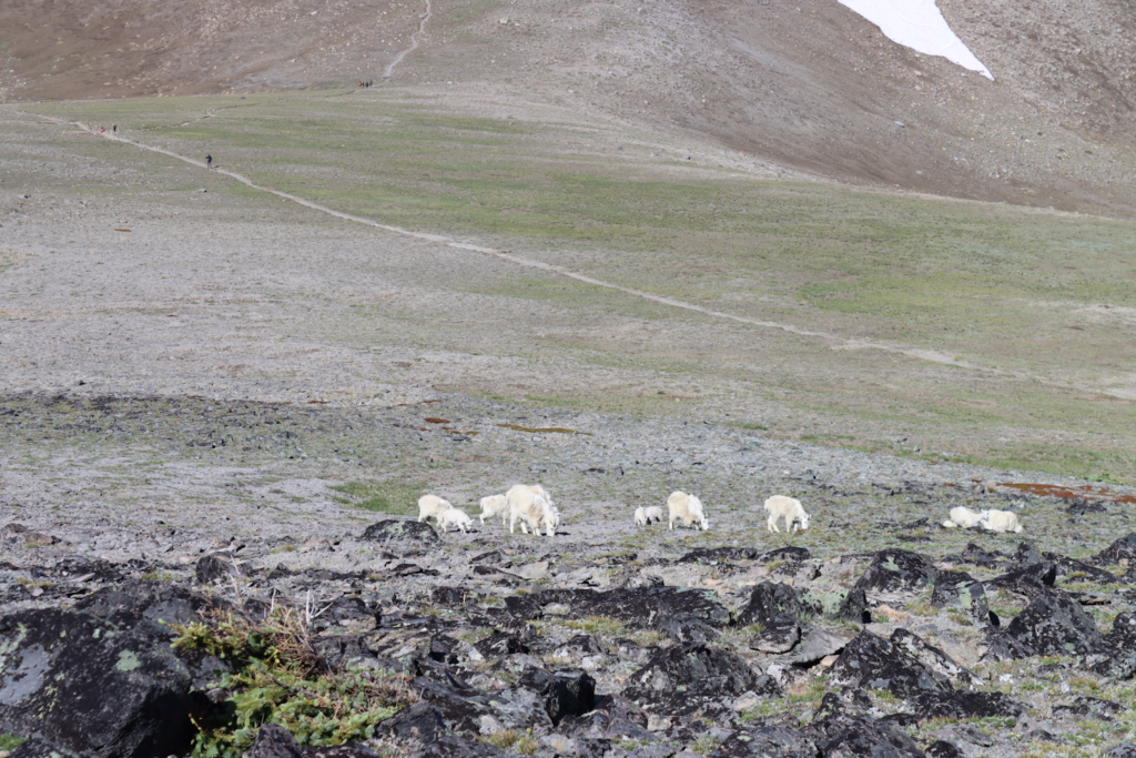
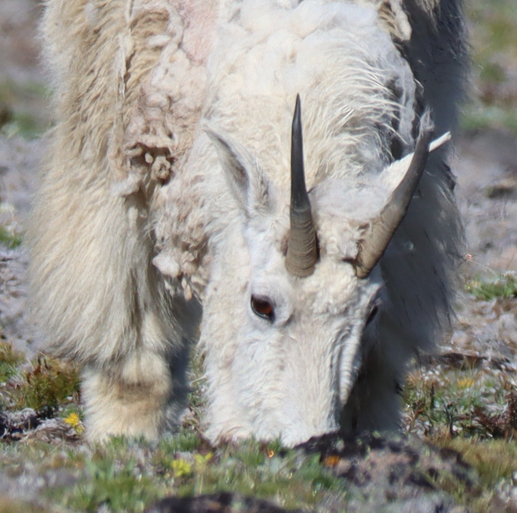
From the top of First Burroughs, we could see about 10 goats who seem to have no concern there were 20 or more people 100 or so feet away giving them lots of attention.
9:46 with a 55 mm lens:
9:47 with a 300 mm lens:
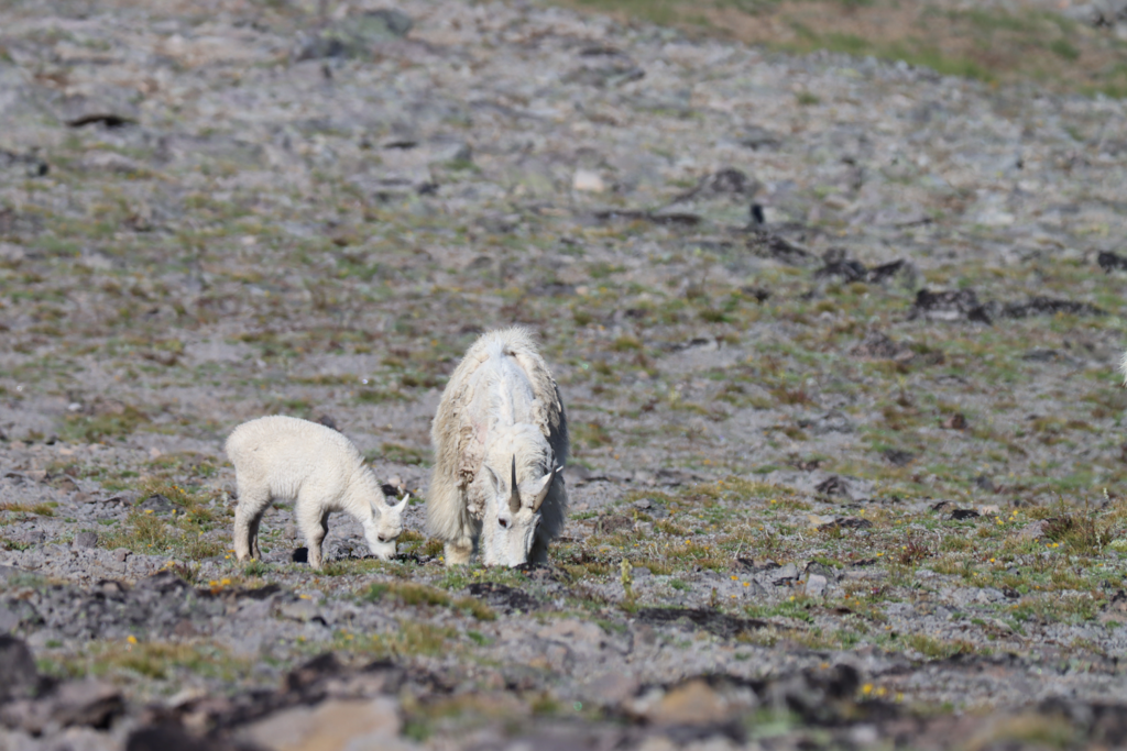
Same picture as above with the image cropped:
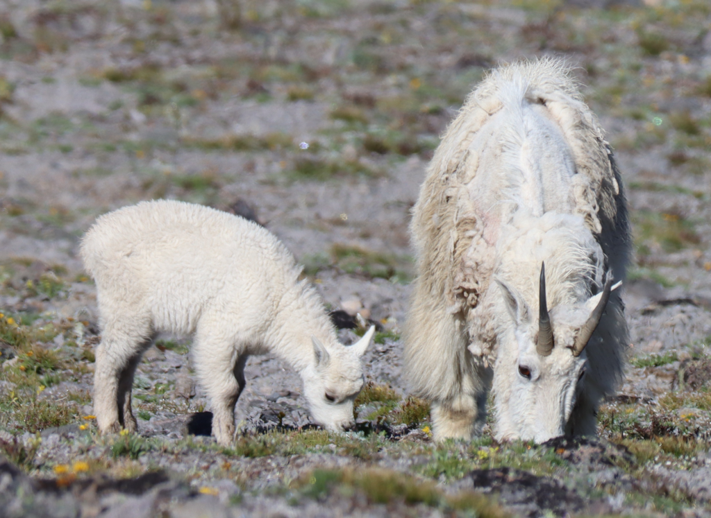
Still more cropping:
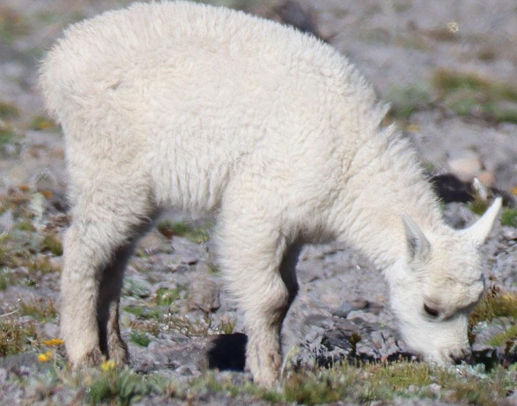
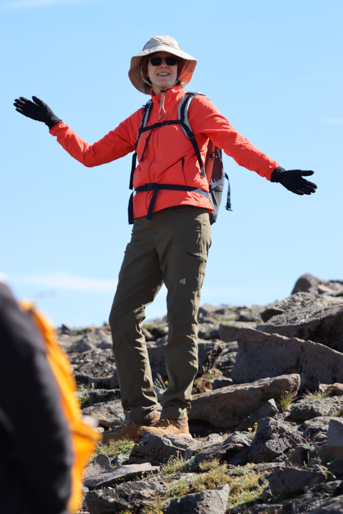
9:48 Barb:
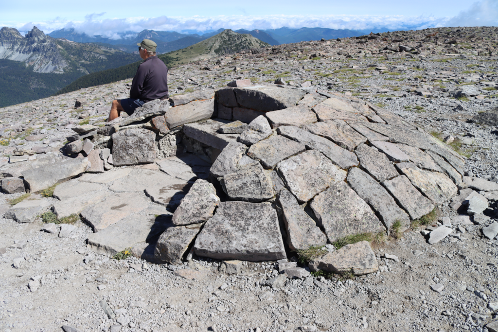
9:58 I’m not sure what this is supposed to be. But it is on the top of the First Burroughs:
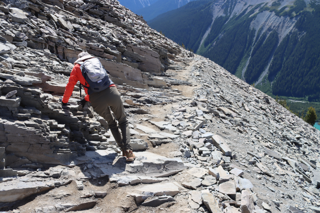
10:10 We took a new to us trail back to Sunrise:
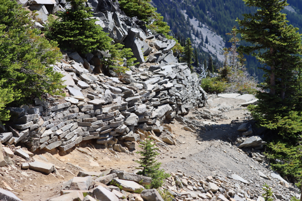
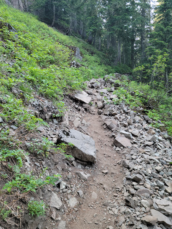
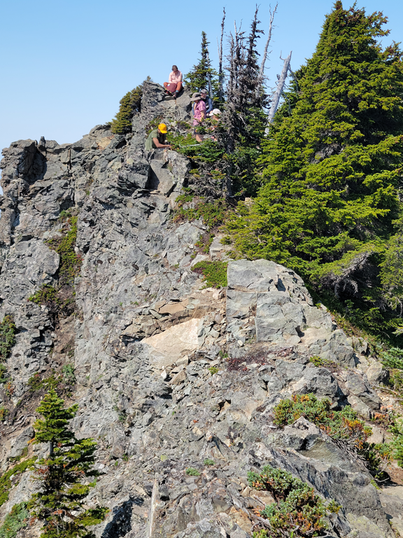
10:40 The trail is a little more “interesting” here. Barb became far more cautious. She once fell on a trail while on Mount Rainier and it took her a year to fully recover:
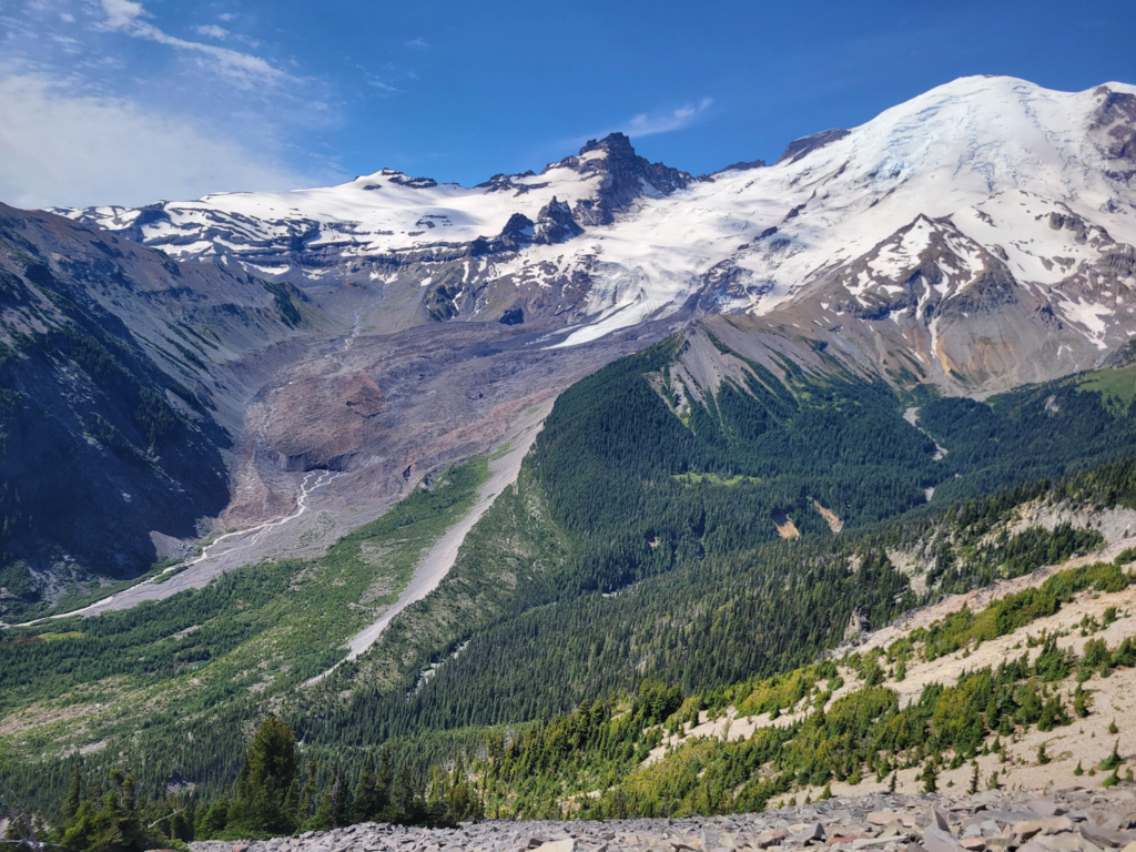
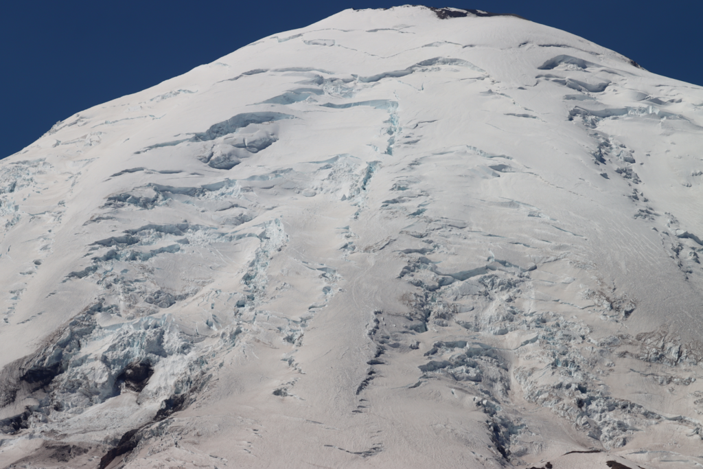
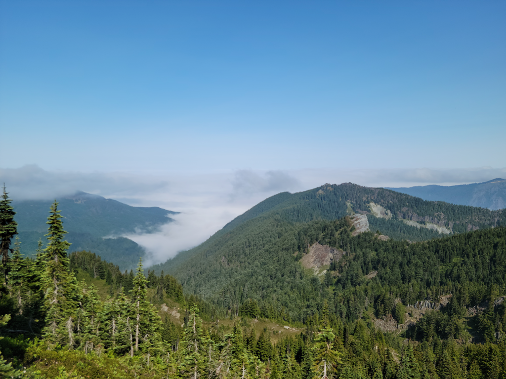
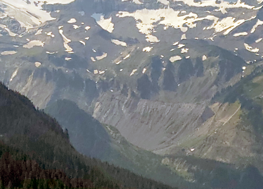
We were really glad we took the new trail. Not only because it was new to us but because we had a spectacular view when we stopped for lunch at 10:45. Just left of center is a gravel covered glacier. You can see the glacier wall and the multiple streams of glacier melt leaving the face of the glacier. On the right is Mount Rainier:
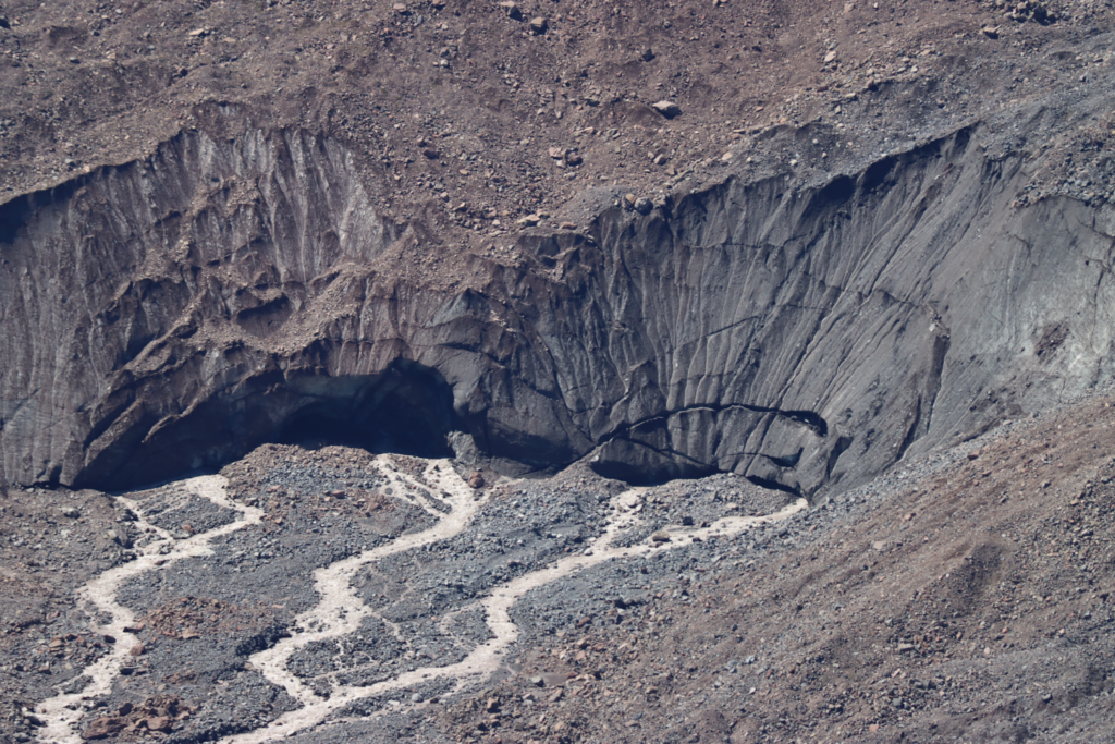
11:03 The glacier face with a 300 mm lens:
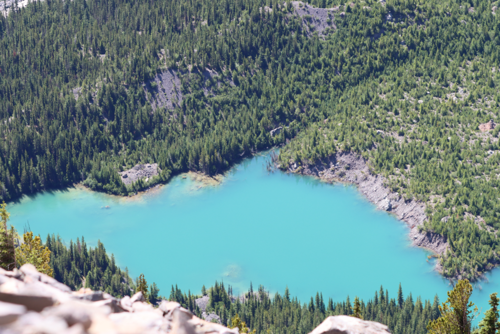
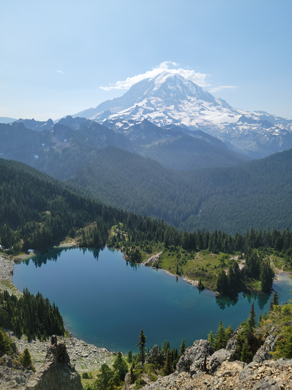
11:03 120 mm lens. A lake fed in part from the glacier:
11:05 Mount Rainier with a 129 mm lens:
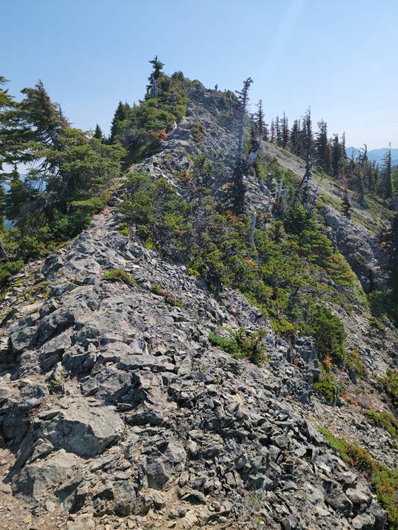
11:10 Another interesting point on the trail:
We got back to our car about 1:30. We walked a total of 6.9 miles. We drove home and took naps. It was a bit tiring but very well worth it.


